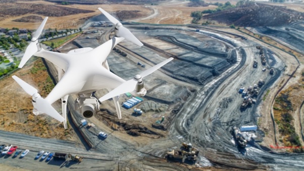
This course covers the surveying methodologies and mapping of geographical features. It also gives an insight into the latest technology and tools that are used in the industry. This course on new-age technologies is key for every engineer who is keen to understand the geospatial industry. The course captures the fundamentals of location technology and gives a glimpse of the various geospatial components that are used for solving real-world problems. Also, the learners would get insights into the tools & techniques that are applied across various projects. Additionally, learners will gain valuable insights into the integration of drone technology, a game-changer in data acquisition and mapping, and how these tools and techniques are applied across a spectrum of projects.

Basics of Surveying
20 hours of self-paced interactive learning, including summative assessment and expert live interactions
On successful completion of the course, the learners will be able to:
![]() Comprehend different geospatial techniques in the construction industry.
Comprehend different geospatial techniques in the construction industry.
![]() Carry out survey/process geospatial data for determining the accurate geographic coordinates, distances, establish location and alignments in construction projects.
Carry out survey/process geospatial data for determining the accurate geographic coordinates, distances, establish location and alignments in construction projects.
![]() Understand the application of geospatial instruments like LIDAR, drones, etc.
Understand the application of geospatial instruments like LIDAR, drones, etc.
![]() Carry out basic conversions from non-spatial to spatial formats.
Carry out basic conversions from non-spatial to spatial formats.
![]() Create a map layout with all essential cartographic elements in GIS environment.
Create a map layout with all essential cartographic elements in GIS environment.
© BITS - L&T EduTech , All Rights Reserved.
Designed by IT Services Unit BITS Pilani, Pilani Rajasthan.
Visitor Count -
